A Partial Atlas of the United States
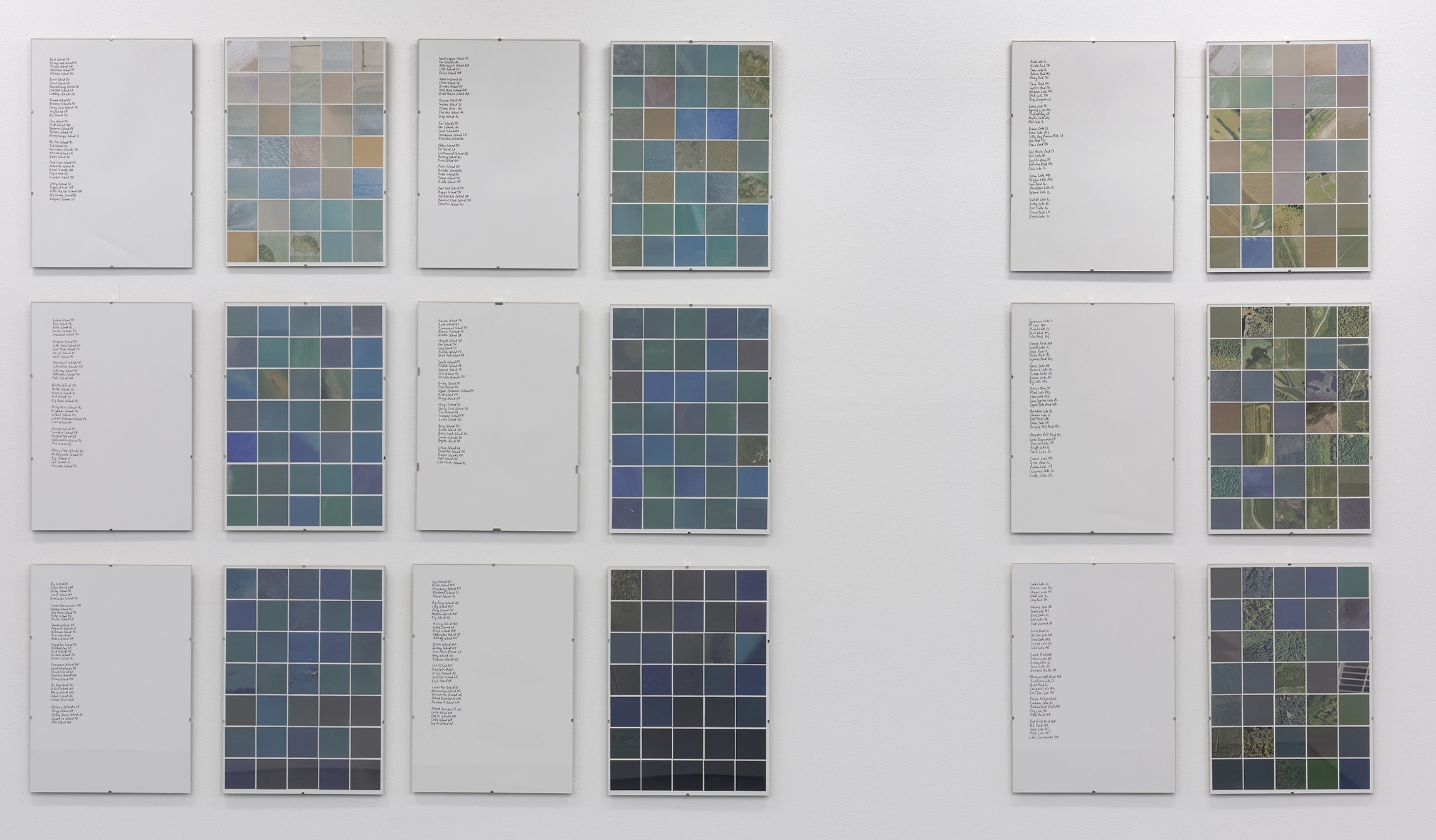
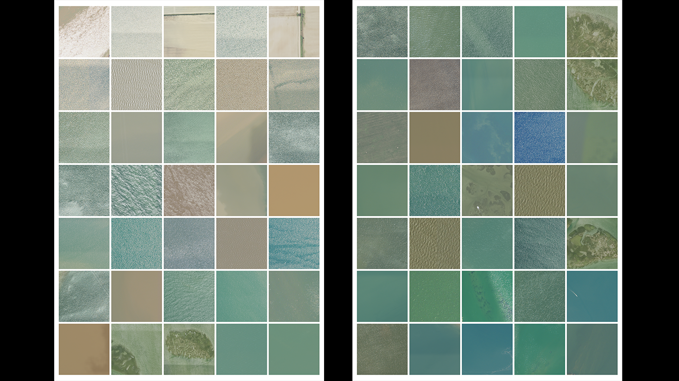
A Partial Atlas of the United States (2026) is a set of prints drawn from the United States Board on Geographic Names database — the official federal record of place names across the country. The work identifies islands and lakes that have been formally removed from the record because they no longer physically exist, erased by rising sea levels, coastal erosion, flooding for damns and other consequences of climate change and human intervention. Pages of satellite imagery show what remains where these places were: water, sediment, shallow tidal flats, the occasional trace of where land met sea, forests, parking lots, fields. A separate set of handwritten pages records their names. The atlas format, borrowed from the tradition of official government cartography, is used here to document what official cartography can no longer show.
Artist Notes (Thoughts & Process)
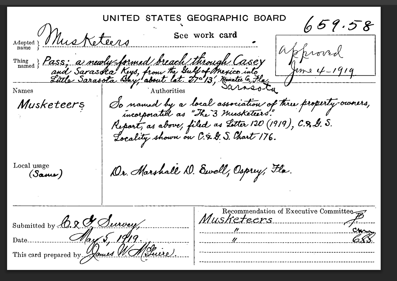
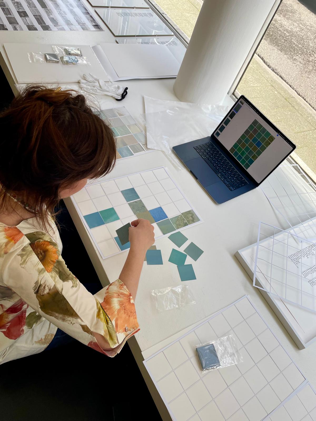
The United States Board on Geographic Names maintains the official federal database of place names - every named feature in the country, including those that have been removed from the record. I worked through the database to identify places removed not because of renaming or political decision but because of physical disappearance: places swallowed by rising water, eroded past the point of existence, or deliberately submerged for dam construction. This was not easy to find and involved clicking into each individual record to search for the reason. The handwritten names are a separate record: the act of writing them by hand is an act of witness, insisting on the specificity of each place at a moment when the official record has let it go. The atlas format is deliberate — the scientific atlas as a recurring structure in my practice, placing contemporary data within a longer history of classification and what classification cannot hold. This work was made during a period of active dismantling of US federal environmental records and agencies, which gives the database access a particular urgency: the record that can be read today may not remain publicly available in the same form in even a few months time.